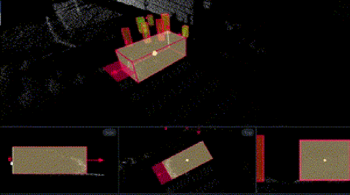
LiDAR Annotation

Label and categorize objects, movements, and events within 3D cloud point data to make them useful for machine learning and AI by Dodeed AI.

Lorem ipsum dolor sit amet consectetur adipisicing elit. Inventore autem sit dolorum quam eum hic facere maxime nobis reprehenderit repellendus in eligendi illo, aliquam esse recusandae harum deserunt aspernatur saepe! Lorem ipsum dolor sit amet consectetur adipisicing elit. Inventore autem sit dolorum quam eum hic facere maxime nobis reprehenderit repellendus in eligendi illo, aliquam esse recusandae harum deserunt aspernatur saepe!

3D labeling

3D point cloud annotation allows you to visualize an object for more detailed detection in order to get the dimension exactly correct.
USE CASES-

  • Detecting vehicles, vulnerable road users, traffic signs, traffic lights, etc for self-driving cars and smart cities
  • Scanning buildings for quality control and detect defects.
  • Farming with precision agriculture: to reduce the amount of fertilizer applied to the field.
  • And more..

Polygon

In computer vision, polygon annotation is very often used in object detection and recognition models due to its pixel-perfect labeling capability.
USE CASES-

  • Detect irregular shapes like pedestrians or bikes in a street scene
  • Detect irregular shapes of products in manufacturing
  • Monitoring the growth of plants in Agriculture
  • Outlining the anatomy of internal organs on CT, MRI and sensory data scans in Healthcare
  • and more..

Image annotation portfolio

Total Image

600

Project

1

Country

1

Returning client

100%

lidar_point

Point Annotation

lorem impusm dummy variis a dummy variable. You can use for any dialog lorem impusm is a dummy variable. You can use for any dialog lorem impusm is a dummy variable. You can use for any dialog lorem impusm is a dummy variable. You can use for any dialog lorem impusm is a dummy variable. You can use for any dialog

Accelarate your AI model development

Get a free demo