Geospatial and Drone Imaginary

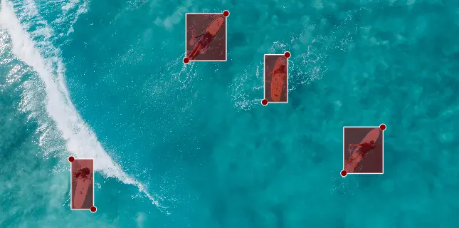
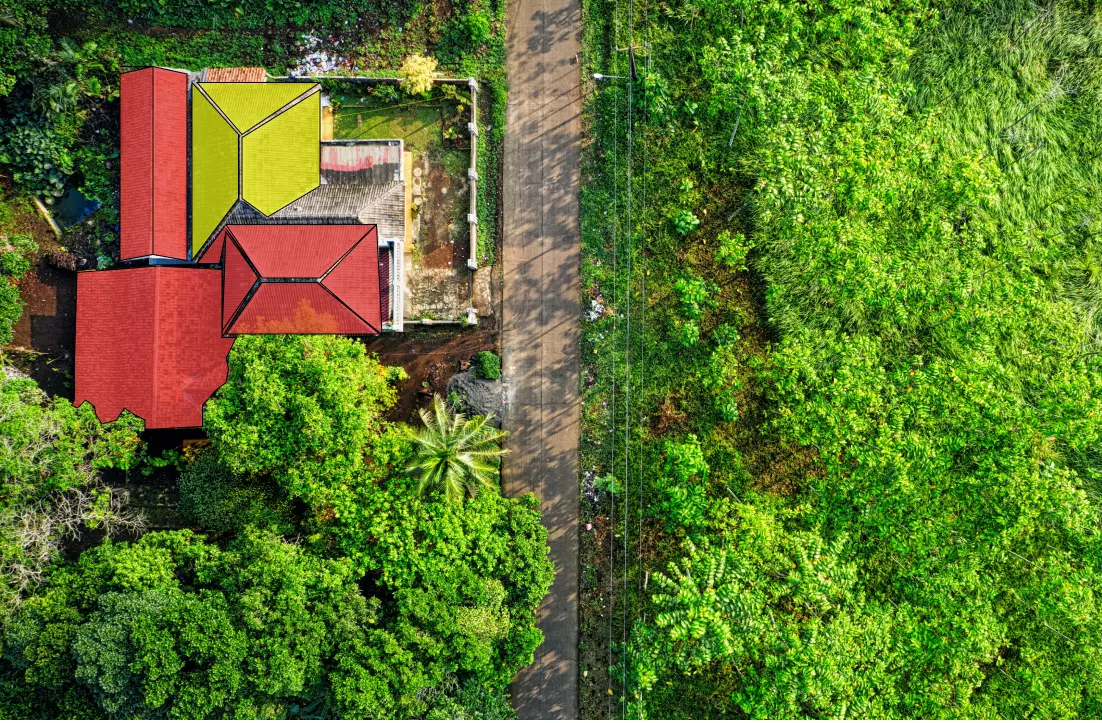
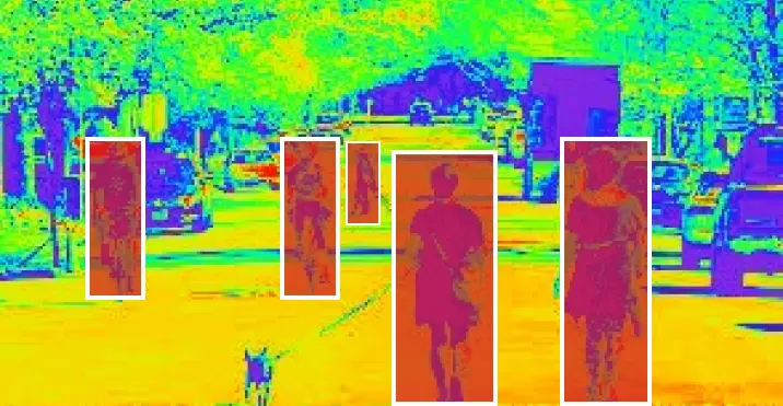
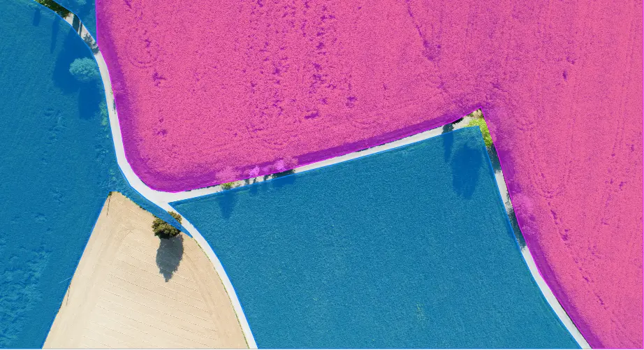
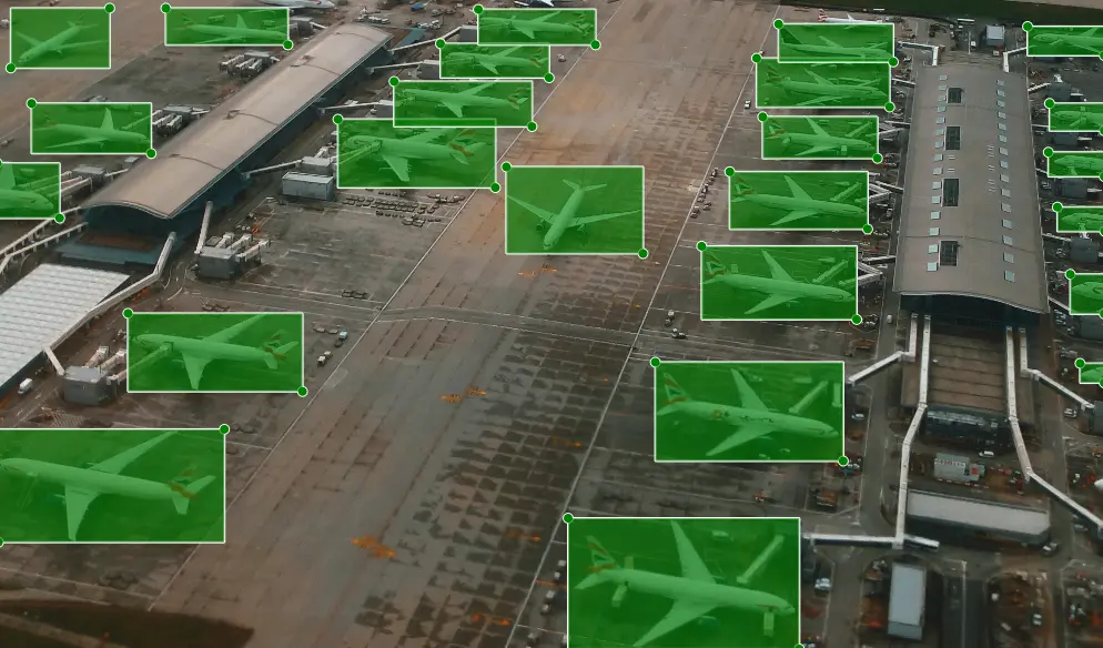
Get the best quality Contour Annotation, Aerial View, and Drone Imagery annotation services from experts.

Geospatial data annotation is critical for the development of computer vision and video recognition systems and is crucial for the training of machine learning algorithms in various industries such as satellite imagery, security, and aerospace & defense, etc. We at Dodeed AI end-to-end data labeling services paired with full-time data annotation experts deliver high-quality, error-free, human-labeled, and cost-effective geospatial training data.

Satellite Imagery Dataset

USE CASES-

  • Agriculture: find how much land is devoted to each crop, how healthy the plants are, and how quickly they are growing.
  • Smart Cities: to recognize the man made structures like houses, huts and buildings for urban management and smart city
  • Disaster Management: real-time monitoring the condition of roads, buildings, ports, and more after disaster happend

Infrared Imagery

USE CASES-

  • Active thermography for non-destructive material testing
  • Monitoring large geologic properties for changes aerial thermography
  • Quality checks on every electrical system, motor assemblies and window heating elements in automotive.

Image annotation portfolio

Total Image

3 M+

Project

25

Country

10

Returning client

86%

Drone Imagery

USE CASES-

  • Smart Farming: to evaluate field conditions, soil moisture, identify crop disease, predict weather and crop yields.
  • Smart Cities: autonomous deliveries, natural disaster control and monitoring, crowd management, etc
  • Manufacturing: dynamic and real-time data of guiding, automating, IoT-driven inspections to build a robust data repository for long-term analysis.
  • And more..

Aerospace & Defense

USE CASES-

  • Extracting valuable and confidential intelligence from various sources and connected equipment like radars, cyberspace, patrol aircraft, automatic identification systems, etc
  • Determining the target range of missiles, performing trajectory analysis for kill zones, provide launch time and simulation to assist in the qualifying missile
  • Thermal effects on onboard electronics

Accelarate your AI model development

Get a free demo